Need to find detailed data about a specific region? Looking to boost your interactive maps or GIS software?
You’ll have to query a reliable geospatial database, and the best contain a wealth of information businesses can leverage beyond simply finding the location of a customer’s address. Vector data, raster data…these and other types of data required for mapping and other location-related endeavors can be found in a reliable geospatial database.
These databases are at the heart of anything location-related — as granular as individual asset tracking — and detailed geospatial databases can aid in important business decisions.
One of the most in-depth data sets you’ll find is the one TomTom MultiNet offers. The company boasts a decades-long history of products and services global consumers in almost every sector have depended on. But what makes it so special?
Let’s explore some of the most critical components TomTom MultiNet provides.
TomTom MultiNet’s Most Important Elements for Business Use
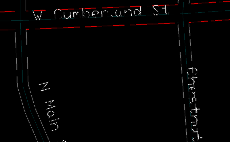
Any organizations that rely on geocoding or routing — whether it’s for deliveries, fleet management or anything else — count on map data that’s as detailed as speed limits (including special speed limits for trucks), address information, one-way streets, number of lanes, turn restrictions, points of interest and more. This is why TomTom MultiNet stands out as such a valuable resource.
Accuracy
If it’s not accurate, it’s not anything. Accuracy builds trust, and trust builds a better business.
TomTom’s data is updated frequently, with product updates rolling out quarterly. Not only will customers receive some of the highest quality data available, they’ll receive it in the most timely manner, too.
Multiple Data Sources
TomTom builds MultiNet using trillions — trillions, with a T — of sources within communities via anonymous GPS data, satellite imagery, government information, field analysis, aerial measurements and more.
This kind of deep sourcing is what makes TomTom’s data so precise and reliable, allowing users to see more details than ever.
Global Data Integration
TomTom MultiNet features a global map database that includes information about 150-plus countries and more than 30 territories. Organizations conducting operations internationally need these details if they want to successfully compete.
What’s more, MultiNet has one global specification. It’s the same for everyone, everywhere. While certain fields in MultiNet’s tools may not be used in certain countries based on each country’s metrics and nomenclature, the singular standardization makes MultiNet that much easier for users worldwide.
Add-On Data
Businesses can use different features and components of MultiNet as they see fit, and there are plenty of add-ons available as well.
Some of the most valuable add-ons include:
- 3D Landmarks & Landmark Icons. A high-resolution, 3D presentation of notable structures
- Logistics. Specially tuned for finding safe navigation for trucks
- Points of Interest. Search for points of interest when an address is not available
- Speed Profiles. Historical speed limit data for determine the quickest routes,
- Address Points. Even more precise address data using government and private sources
TomTom MultiNet Success Stories
“The proof is in the pudding,” as the saying goes. Here are a couple of real-life customer success stories to inspire you.
Otay Water District
The Otay Water District in San Diego County, California, needed a better way to access road data for their 125-square mile service coverage. They turned to TomTom MultiNet and ADCi to access much-needed features including turn-by-turn coverage, highly accurate geocoding match rates and more. The switch made their team more responsive to issues and better able to serve their district.
Read the full Otay Water District case study for more details.
Code 3 Consulting, LLC
Code 3 Consulting needed to send detailed map data to emergency service responders for small-to-midsize providers who had been relying on map data that lacked many important features, such as customization and locally sourced GIS. When Code 3 turned to ADCi and TomTom, they could help emergency responders overcome the limitations they’ve dealt with in the past.
Read the full Code 3 Consulting case study for more information.
Learn More About TomTom
To dig even deeper into TomTom MultiNet’s many valuable features, you can download a free guide. Just click the link below to access TomTom MultiNet: A Handbook for GIS Professionals, today.


How TomTom Administrative Areas Helps Businesses Grow
Make and Manage Critical Decisions With TomTom Map Data in AutoCAD Format