Auto insurance companies that implement safe driving discounts are putting money on the line by counting on accurate location intelligence. If a safe driving discount is offered, insurers must be able to see the speed limits and other traffic information where customers drive to ensure fairness in applying the savings.
Location data assists with fraud detection, too. Gathering and analyzing information associated with claims lets insurers look for patterns or inconsistencies that could point to deliberate misrepresentations, preventing insurers from paying claims they’re not responsible for.

Using Map Data to Write Plans, Determine Costs & More
Insurance companies rely on historical information to consider what could happen in the future — informing their current contracts. Without accurate map data behind every plan, the industry would be lost.


Location Intelligence for Underwriting
Health insurers need to know where there are higher cancer rates. Auto insurers have to see which cities experience the most accidents. Home insurers need to check if a house sits on a floodplain. Granular levels of that data are possible with today’s advancements in mapping technology, including GPS systems in current automobiles and location tracking on phones. There’s no longer a need to merely rely on zip codes.
How likely is it for an insurance company to have to pay certain claims? This is a question all insurers ask, and it’s partly answered by careful evaluation of precise location data. Ultimately, premium costs go up or down based on the level of risk for an insurer.
Pinpoint Accuracy for Fair Practices & Fraud Detection

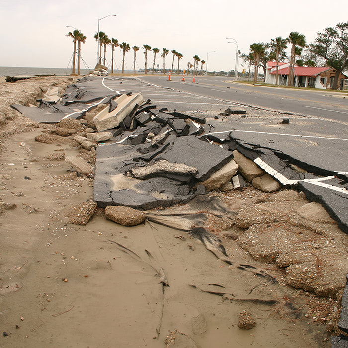
Fast Responses to Incidents & Crises
After an event, whether fender bender or natural disaster, real-time location data prepares insurers and helps them identify affected people or areas — making for faster deployment responses and fewer surprises.
Marketing
By understanding the geography of their customers and prospects, insurers tailor their marketing and customer experience strategies to better target specific demographics. Think of an ad aimed at someone searching for “flood insurance,” or a geography-based ad for people who live near popular lakes and are seeking insurance for their boats.


Artificial Intelligence:
Making Fast Work of Vast Data
Artificial Intelligence (AI) is playing a more significant role in helping insurers compile essential information. Many popular mapping providers use AI algorithms to process innumerable quantities of data — fast — from various sources, including satellites, drones, phones and even social media. Certain AI applications also help with risk modeling to support better decision making that insurers can turn to when developing plans.
And it’s only going to get better, faster.

Licensing Map Data & Services
Through a Reseller
While AI may be handling many tedious tasks, there’s no replacement for personalized service from a human being. And that’s exactly what you get from the experts at ADCi.
We’ve been in the GIS and mapping business for decades, and we’ve served those in the insurance industry for almost as long. When you connect with us, we’ll discuss your business goals and how location data can best serve you, and our team will point you to the best solutions that fit your needs.
Contact us, and let’s get started today.