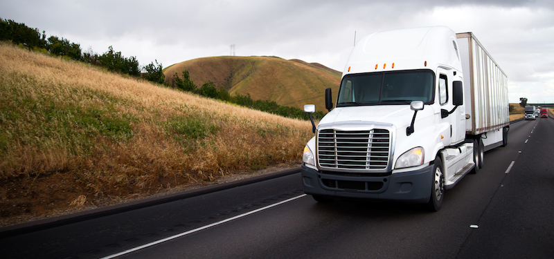
“You’re the next stop!” As a consumer, you may have seen this message on your phone as you awaited the arrival of your latest Amazon purchase. What if you could go deeper to figure out exactly when your delivery driver would be arriving? In addition to knowing the distance between the driver and your house, if you also knew the route’s speed limit you could get a better idea of when to expect your doorbell to ring — if you’re so inclined to crunch the numbers!
That’s one way speed limit data can come in handy for businesses, especially those that rely on timely deliveries and frequent transportation scheduling…but that’s just the beginning. Here’s how businesses and GIS professionals can leverage speed limit data sets to their advantage.
Routing and Deliveries
Any company that relies heavily on transporting goods or services, like the Amazon example above, can use traffic info and speed limit data sets to help schedule and calculate arrival times with better accuracy, rather than relying solely on looking at a map. What appears to be the shortest route on a map may not actually be the quickest due to the speed limits along the way.
Arrival time in particular is a huge concern for delivery companies, regardless of what they carry. With most customers able to track deliveries on their phones, they have high expectations that what they’re looking at is correct. If a food delivery app says their tacos will be at their door in 15 minutes, they expect to be eating those tacos in 16 minutes.
Those who have access to speed limit data on the routes they use have this added element of the full equation, giving them more precise calculations for their own scheduling purposes and their customers.
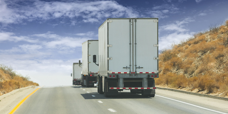
Asset Tracking
Fleet managers need to know where their vehicles are at any given moment. Whether it’s a delivery company, pest control service or even a government entity, having access to speed limit data for where they’re headed helps keep things moving efficiently.
Those in charge of fleets can also compare logged vehicle data to check that all speed limits on file are being adhered to, or check to see which vehicles might be having more difficulty due to their routes, which could be affected by speed limits. Information gathered in this way can inform planning, leading to better use of all assets, including one of the most important assets of all: time.
Insurance Discounts
You’ve probably seen ads from auto insurance companies talking about safe driving discounts. Those are very much a real thing, and many modern vehicles are or will be equipped with technology that can record data on how they’re driven, including how fast they typically go.
Combining that data with the available speed limit data and the known routes allows you to determine whether a driver for the company is driving safely within the speed limit. That can then be leveraged for a possible insurance premium discount, which helps the organization’s bottom line.
The Importance of Keeping Speed Limit Data Updated
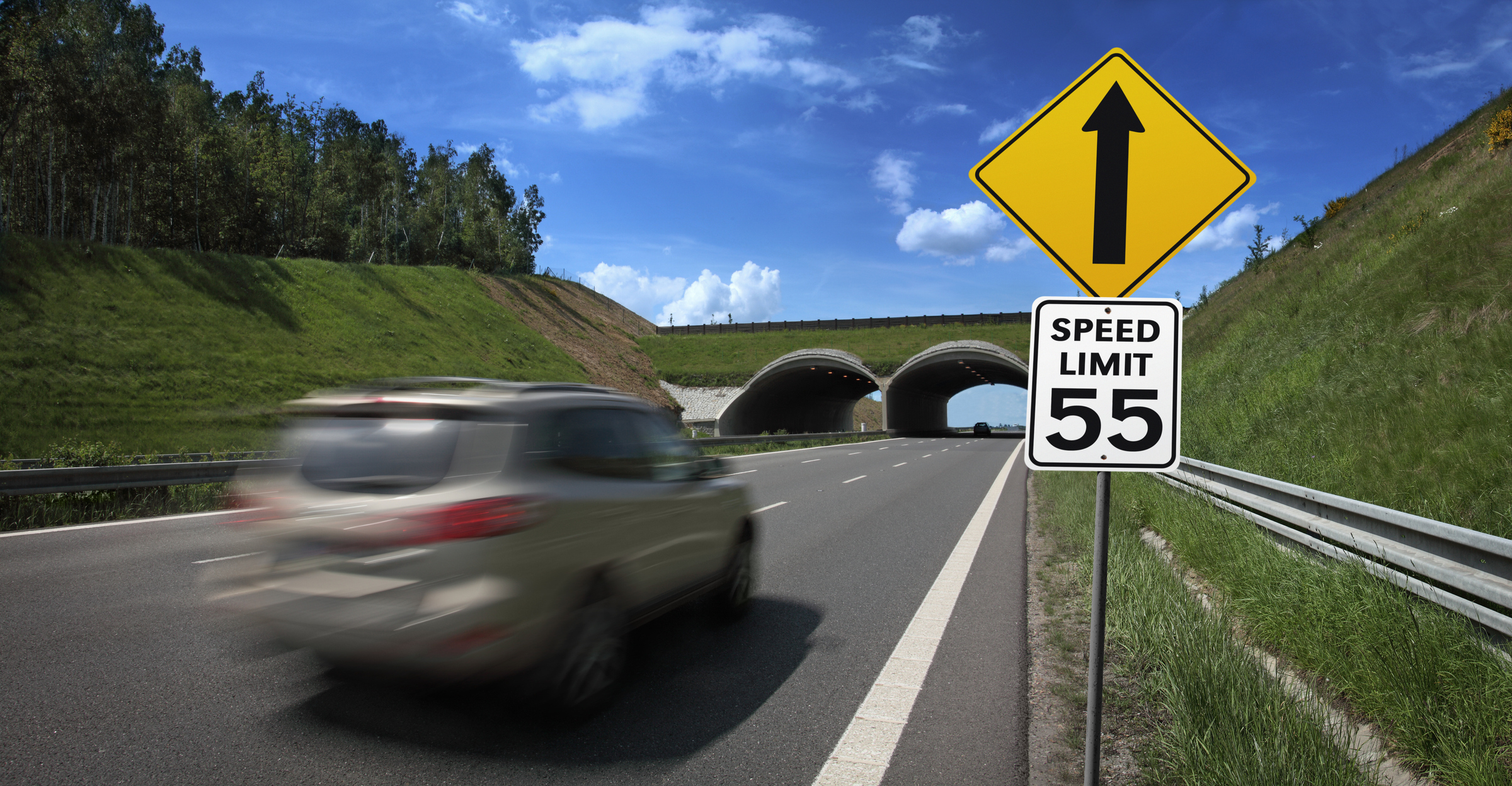
What if your data says a road has a speed limit of 45 but it was recently increased to 55…so your drivers drove the speed limit of 55 and got flagged by your system for speeding? Drivers could be wrongfully punished, and you’d have a mess on your hands.
That’s just one of the reasons it’s crucial to have the most up-to-date speed limit data sets in your possession. Another reason: Not all speed limits are posted, and some locations have conditional speed limits. Conditional speed limits are those where, despite what’s posted, lower speed limits are enforced due to weather conditions, the time of day or being in a school zone.
Government sources are among those from which speed limit data is collected, as is the artificial intelligence (AI) found in modern vehicles — which can even read and catalog speed limit signs. But not every speed limit is posted (especially in residential neighborhoods), and just because it isn’t posted doesn’t mean it isn’t enforced. That’s why having the most current data, including from the government, is vital to keep workers and businesses in compliance with the law and their own rules.
Fortunately, with the right technology and services at your disposal, this information will be updated for you on a near-constant basis.
Learn More from ADCi
How are you looking to leverage speed limit data for your own business? We have plenty of resources on how this all works — including the role AI and machine learning play in gathering speed limits and other location-related data for use by GIS and mapping services.
You can contact us at any time to discuss speed limit data options. In the meantime, we invite you to explore the AI topic further by clicking the link below to access a free copy of our eBook, The Fundamentals of Geospatial AI.
4 Posted Speed Limit Databases You Need to Know About Now
Google Maps or HERE Speed Limits? Helping Fleet Managers Put Safety First