 Drones have been an increasingly hot topic over the past several years. From recreational activities to proposed uses for delivering goods to consumers, drones have changed what’s possible through the air.
That, of course, includes changes to GIS and mapping functionalities. Drones, satellites, and other means of gathering mapping info work together to provide exceptional data for a variety of uses. Take a look at how GIS mapping using drones can improve mapping as a whole.
The Benefits of Drone Surveying and Mapping
Drone technology continues to advance, making drones ideal tools for gathering certain ground data that can pair well with more traditional mapping techniques.
Satellites perform this function globally from space, which is in direct contrast to a drone’s size and scope. Unlike massive Earth-orbiting satellites, much smaller drones are flying feet, not miles, above us. As a result, their contributions are likely best for more localized and granular data.
Think about making a delivery, for example. The destination has a specific address, which on a traditional map will be plotted on the corresponding street. But maybe the door at the plotted location isn’t where that building actually accepts deliveries. Maybe deliveries need to go to the door around the back. A drone can help with this level of detail to better streamline last-mile delivery and give drivers accurate information about their location.
These are some of the popular uses for drones:
- Event Mapping: Music festivals, conventions, and other events can benefit from drone surveying. Event coordinators can use drones to map out where stages or booths are located and provide that data to staff members and attendees.
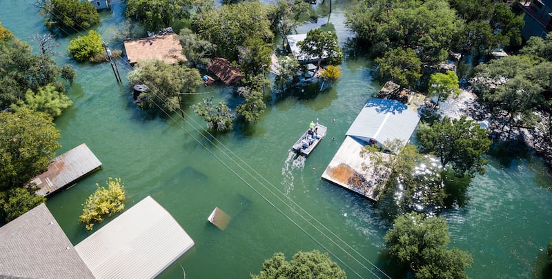
- Damage Surveys: Whether it’s a large-scale natural disaster or a calamity affecting a single home, the aftermath of a destructive event can be surveyed by drones to assess the damages. Insurance companies and authorities can use this data to inform their responses while also keeping field personnel out of what could be hazardous situations.
- Crop Surveys: How are the crops doing this season? Drones can provide farmers with an aerial view of their fields to monitor the fields. It’s a fast and efficient way to gather visual data they can use to find trouble spots or to simply check in on progress.
- Airspace Mapping: Drones can sometimes be used to map out airspace or to help determine the elevation of certain landmarks and natural features.
- Village/Small Town Mapping: While the big cities rely on satellites for their geographical data, small towns and villages might be interested in using drones to get a better look at their layouts.
Challenges with Drones in the GIS and Mapping Industry
Some of the biggest challenges drone usage will face in the world of mapping and GIS involve rules and regulations. Drones for commercial and personal use are still relative newcomers navigating some uncharted territory.
With drones being airborne, compliance with the FAA and its guidelines will be essential. Restricted areas like airports, military bases, and certain industrial complexes must be considered, and it’s understood that every law requires strict compliance.
The FAA has different rules for different uses of drones, whether it’s for recreational use, commercial use, or government use1. These rules can be tight, so it is vital for drone pilots to understand each one.
As the drone industry continues to evolve, likely so will the laws regulating it. Any individual or business using drones will have to keep up with the current guidelines and practices.
What the Future Holds
Generally speaking, it seems to be widely accepted that while drones aren’t going anywhere, so to speak, it’s not anticipated that they will replace satellites as the primary means of collecting and generating mapping and navigational information for the globe. Satellites are just too effective on a larger scale.
Instead, smaller scale, detailed locations and places that are hard to reach may be areas where drones outperform satellites.
It’ll be a partnership and collaboration between these two technologies that can further enhance the GIS data available to consumers, providing the most informative and detailed navigation and mapping data we’ve seen to date. It will only get better as technology continues to progress, as detailed in 7 Surprising Use Cases for GIS.
SOURCES
1Federal Aviation Administration, https://www.faa.gov/uas/, September 20, 2021

CASE STUDY: HERE Map Data Ignites Solutions for Santa Clara County Fire Department
4 Posted Speed Limit Databases You Need to Know About Now