 College campuses can be sprawling or quaint, but either can be intimidating for the new student or first-time visitor. Surrounding unfamiliar communities may also be a cause for concern, especially when it comes to safety.
This familiar scenario plays out nationwide every year. However, with 81% of all Americans owning smartphones — and 96% in prime college-going ages of 18-291 — geolocation tools and advanced map data for colleges bring navigation and safety solutions virtually to users’ fingertips, including those of university law enforcement and security teams.
A Study in Geolocation
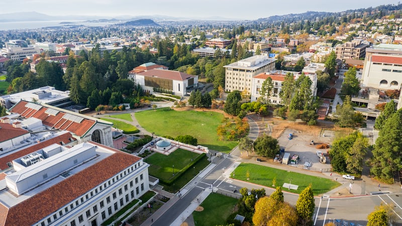
Colleges using geolocation isn’t a new phenomenon. Questions were raised about the viability of indoor mapping for college campuses2 for several years prior to the debate being put to rest as technologies caught up. Now, the majority of universities incorporate some type of interactive map on their website — like this map of the University of Wisconsin-Madison.
The role geolocation plays on campuses has evolved as well. The digital map that was, and remains, a valuable tool for helping students navigate school grounds and facilities has migrated from college websites to college smartphone apps. As a result, GPS location tracking is being leveraged for uses beyond navigation, including virtual attendance-taking and campus or class-related digital alerts.
While this technology has opened the lines of communication, geolocation and map data for colleges serve a higher purpose in higher education: keeping students safe.
The Safety Aspects of Map Data for Colleges
Technology has reinvented the world at large. It’s influence on college campus security is undeniable. The Internet of Things (IoT) has bridged gaps left by some GPS tools that could not transmit indoor signals, as the use of connected devices and beacons greatly improve indoor mapping access and accuracy.
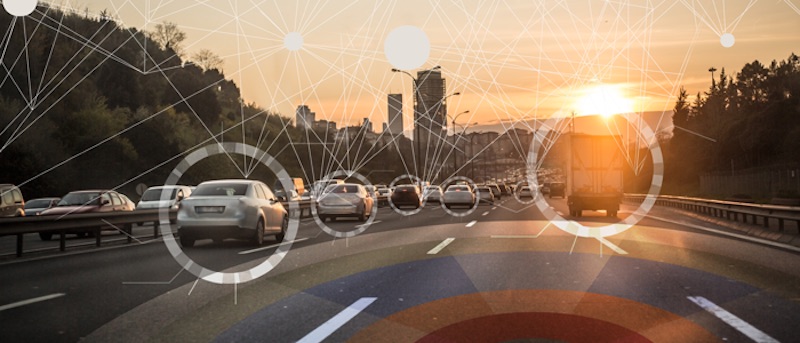
The use of map data, in particular, continues to introduce innovative ways to use GIS to protect students, faculty, campus workers, and visitors. In short, it increases the situational awareness of campus security and law enforcement teams. Response times are shortened because action is focused by location tracking, be it for predetermined situations such as traffic rerouting or an unanticipated event that may pose a threat to the campus.
Using designated apps and other permission-based location tracking on their smartphones keeps students and staff safer in the surrounding community, too. By being virtually visible to campus officers and/or local law enforcement working in collaboration with college security teams provides a measure of protection should help be needed. Using map data also works in opposite. Should a student inadvertently lose their way locally, location tracking can provide an efficient and safe route back to campus.
Decision-makers and security officials on college campuses throughout the United States are realizing the significant benefits of implementing map data and geolocation strategies, but they aren’t the only ones. Learn how a number of industries are leveraging location technology for inventive solutions and enhancements in our eBook, Emerging Trends in Location Technology. Click the button below for your copy of this handy reference guide.
SOURCES
1Pew Research Center, Mobile Fact Sheet, June 12, 2019
2Modo, Indoor Campus Maps: Are We There Yet On Mobile?, October 14, 2014
Key Benefits of Switching from Traditional Map Data to APIs

How and Why Industry 4.0 Technology Benefits Digital Mapping Solutions