 The insurance industry is premised on evaluating, assuming, and mitigating risk in exchange for certain protections. Technology has enabled better insights and granular analytics that insurers increasingly rely upon to manage risk, specifically the use of geospatial intelligence or, more simply, map data and location data.
Monitoring driving behavior is perhaps the best-known use of these types of data for insurance purposes. Usage-Based Insurance (UBI) uses telematics to track mileage, amount of time and locations driven, and specific driver behaviors — hard braking and/or cornering, rapid acceleration, airbag deployment, etc. The results are then weighed with other factors to calculate an individualized premium, generally assessing higher rates for poorer performance and vice versa.1
However, UBI is only a portion of the value geospatial intelligence provides to insurance companies. The importance of access to up-to-date imagery and maps — aerial and street-level — has given rise to the Geospatial Intelligence Center (GIC), a non-profit offshoot of the National Insurance Crime Bureau (NCIB).2 Through the GIC consortium and digital mapping providers, insurers use photography, map data and location data to balance risk and protection in four other critical areas.3
1. Disaster Response
Catastrophic events are often unpredictable, and usually devastating to wide swaths of people and property. Dialing into affected areas within hours of a disaster through geospatial intelligence gives insurers real-time insights into risk exposure and, arguably more importantly in light of a disaster, the capability to locate and help policyholders who are most seriously impacted. Further, having access to historical data regarding disaster occurrence gives insurers an opportunity to offer appropriate coverage options to insureds — flood, earthquake, etc.
2. Fraud Prevention
Fraudulent insurance claims account for anywhere from 5-10% of claims costs for U.S. and Canadian insurers, or about $80 billion across all lines of insurance each year.4 An insurance adjuster who is equipped with analytics that provides irrefutable “before and after” glimpses into the situation and other material facts is better positioned to clamp down on scams.
3. Claims
Getting answers to the basic what, where, and when of any property claim can be challenging for adjusters, especially since the claimant’s interpretation of the facts may be somewhat subjective. Accessing detailed data remotely streamlines the process, provides objectivity and generally results in faster, more accurate claims handling.
4. Underwriting
Underwriters need to clearly interpret condition, characteristics, location, and surroundings of a property in order to write appropriate policies. Absent physical inspection, virtual imagery and detailed analytics give underwriters an accurate reflection of the property, including propensity for flooding, proximity to fire/rescue resources and bodies of water, and other key considerations that may impact coverage and/or premiums.
Geospatial intelligence is a powerful tool for insurance companies to develop risk profiles and extend protections accordingly. Digital map data plays a pivotal role but selecting the best provider for their needs can leave insurers at a loss. Download the fundamentals of Geospatial AI to dive in more!
SOURCES
1NAIC, Usage-Based Insurance and Telematics, January 17, 2019
2NICB, Geospatial Intelligence Center, Undated
3GIC, Geospatial Innovation, Undated
4Coalition Against Insurance Fraud, By the numbers: fraud statistics, Undated
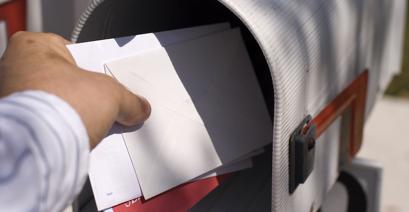
The Benefits and Uses of Intelligent Direct Carrier Routes

GIS: The Newest Technology in Fraud Detection and Prevention