 Digital maps are important and necessary tools for everyday living. People rely on them for everything from tracking packages, to navigating from point A to point B, to improving fleet management.
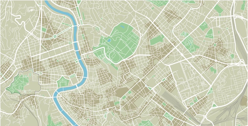
The map data that makes digital maps indispensable is widely available, with two key sources being open source maps and proven resellers. Each offers benefits, but the lure of free or extremely low-cost map data often has open maps winning the day. The choice is valid but perhaps shortsighted when you consider that open source map data is not authoritative. A lack of oversight can compromise map data quality and open the door to potential pitfalls that offer more risk than reward.
1. Accuracy
Open source maps are generally created and maintained by a community of map users. This presents several challenges to accuracy.
Timeframes for updates and data protocols are left to individual contributors. As a result, one city may have up-to-date information while another area may be lacking details because the data hasn't been consistently maintained. Users have no practical way to verify if the map is current.
Further, open source map changes are usually made immediately. Data vetting and other quality assurance checks do not take place, calling open map accuracy into question.
2. Technical Support
There is no centralized help desk or technical support system users can turn to in the event of questions or problems with open source map data.
Users either have to spend time finding a fix on their own or hiring outside professionals to address issues. Either way, it is a costly proposition that could be avoided by partnering with a reseller that offers technical support.
3. Documentation
Commonly, the community of contributors creating the maps is also responsible for documentation. As in the case of map accuracy, users are left to seek out their own answers if the documentation is lacking.
4. Details
Open source maps typically do not use a layered approach to map data. For example, OpenStreetMap (OSM) uses a single layer with tags. This can make it very difficult for users to refine map attributes that are important to their particular application.
Using open source maps is a popular practice, but a potentially risky one given the possible pitfalls. While partnering with a reputable reseller such as ADCi puts these fears to rest, making an informed decision is important.

The Benefits and Uses of Intelligent Direct Carrier Routes

Key Benefits of Switching from Traditional Map Data to APIs