TomTom is a Pioneer in Portable Navigation
The company launched its first satellite navigation device in 2004, and their technology became among the fastest selling in history. Ever since, TomTom has built on its reputation as a leader in navigation data and valuable historical traffic information, making it an important resource for many businesses.
ADCi has been working with TomTom since 1996, licensing their products and services to those who need reliable, accurate and timely mapping information in an easy-to-digest format. We have a great deal of respect for the innovations and services of TomTom, and we’re pleased to connect you with the right product that fits your goals.
TomTom
Map Data
TomTom maps are fresh and frequently updated, helping to ensure drivers and businesses get accurate info and time to plan accordingly.
Learn MoreMap Data
TomTom
Traffic Analytics
TomTom Traffic Analytics include Traffic Stats, O/D Analysis and Route Monitoring. Let ADCi connect you to these valuable products.
Learn MoreTraffic Analytics
TomTom
APIs
TomTom APIs offer seamless integration of maps into your location-based applications or systems.
Learn MoreAPIs
Are You a GIS Professional Looking to Dig Deeper?
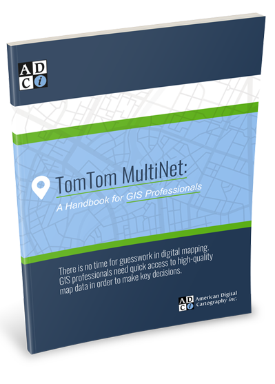
Are you a GIS professional looking to dig deeper into what it means to work with TomTom maps — particularly their global database that can feed location-based apps worldwide? We’ve written a useful guide called TomTom MultiNet: A Handbook for GIS Professionals, which offers more details about TomTom’s valuable map data. Click below to access your free copy.
