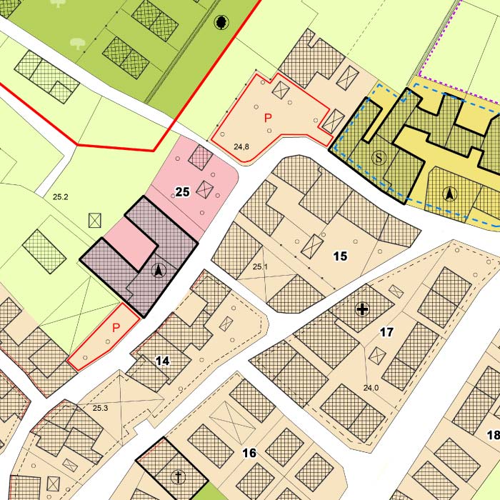
new-tomtom-logo-white-sized
vertical-blue-line

TomTom Maps: Data You Can Rely On

map-shape-1
map-icon-1

On the road, behind a desk or in the warehouse, accurate data that reflects road and location conditions is crucial. TomTom map data is current and reliable, using its vast internal ecosystem to provide important updates that allow businesses or drivers to adjust on the fly and plan ahead with ease.
 
TomTom’s map data spans the globe, allowing the company to access millions of data points to create fresh maps that can be used in the moment. Businesses can customize their maps how they want while using TomTom’s data, making for an experience that’s unique yet rooted firmly in mapped-out reality.

Available TomTom Map Data Products

trucks-on-busy-highway-system

TomTom MultiNet

Details matter, and that’s where TomTom MultiNet shines best. Rich layers of mapping detail are delivered to those in the automotive industries or any number of other location-based services, giving users a true picture of what’s really there. 

Features include:

  • Detailed coverage for the entire globe
  • Integration with other TomTom products
  • Quarterly product updates

Data features:

plat-map

Administrative Areas

Administrative Areas is your source for detailed and accurate boundaries of municipal and census-defined geographic divisions, which can be used for strategic initiatives and operations. It provides point and boundary representations of municipal and census districts to the highest possible detail. 

Features include:

geographic-postal-boundaries

MultiNet Post

MultiNet Post offers cartographic representations for valid postal codes in the United States and Canada. Ideal for geocoding, delivery zone identification, display applications and more, MultiNet Post provides postal boundary info to the highest available detail. 

Features include:

  • Non-generalized boundaries
  • Postal boundaries and centroids
  • Integration with other TomTom products

United States

Canada

delivery-driver-with-boxes-in-van

Add-On Data

3D Landmarks & Landmark Icons

Get a photorealistic three-dimensional representation of noteworthy structures and monuments, with continually updated coverage that spans the globe.

Logistics

Tailored to truck navigation, Logistics allows efficient and safe routing for different configurations and includes information on vehicle dimension restrictions, traffic restrictions and more.

Speed Profiles

Get the most accurate estimation of arrival time with Speed Profiles, which uses trillions of data points to analyze traffic patterns and present the fastest routes and predict travel times.

Address Points

Precision is key, and that’s where Address Points excels. Made for customers who need a faster way to locate an address, it uses data from government and private authoritative sources for accuracy.

Licensing

ADCi will connect you with the TomTom product or service that fits your needs. From there, we can set it up and get the ball rolling. Once you’re on your way, we’ll remain by your side to help you navigate the data or services — just a phone call or email away. 

target-icon

GIS

For all your in-house geospatial needs, powering your GIS with TomTom offers unsurpassed accuracy and seamless street information — including names, classes, ramp restrictions, toll information and more.

truck-icon

Fleet & Logistics

Manage your fleet with high-quality mapping, routing and traffic information sourced from trillions of anonymous GPS measurements that help keep you on schedule.
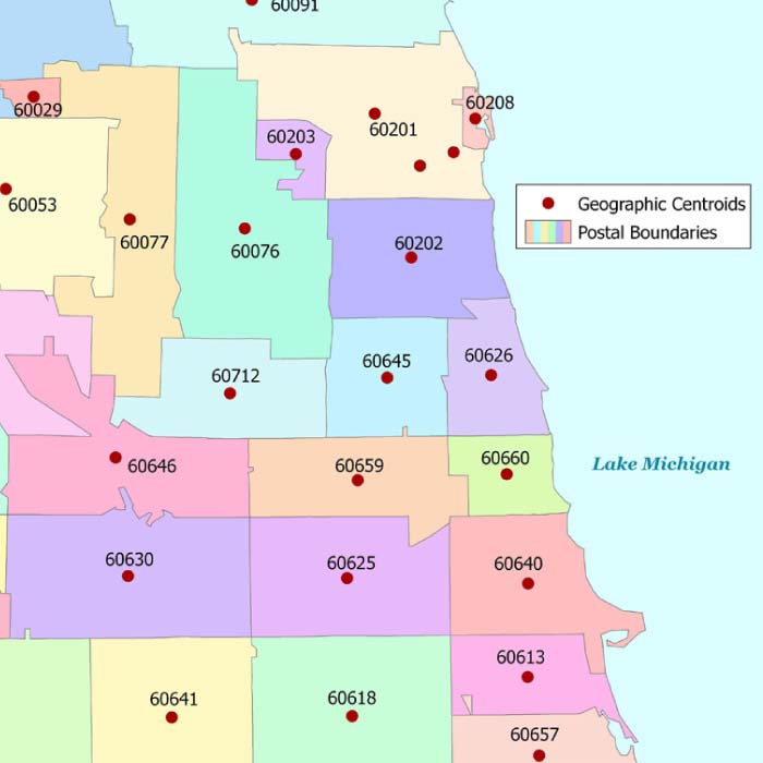
display-monitor-icon

Geomarketing

The highly accurate and exquisitely detailed map data TomTom provides is an excellent match for any geomarketing application.

map-shape-2
Want to See

TomTom Maps in Action?

Click below to access a follow along demo on Geocoding with TomTom MultiNet Data

map-shape-1